Resilience Mapping & Archeological Conservation
Located in Southern New Mexico, White Sands National Park is renowned for its breathtaking gypsum sand dunes. However, beneath this stunning exterior lies a treasure trove of archeological significance.
In our latest whitepaper, join us as we explore the remarkable intersection of archeology, environmental science, and cutting-edge geospatial technology, highlighting the critical importance of preserving one of America’s most unique landscapes.


White Sands Significance & WGI's Crucial Role
White Sands National Park is not only breathtaking; it also serves as a vital link to our past, with key highlights including:
- The oldest human footprints in North America, offering insights into early human migration and behavior.
- A diverse array of prehistoric animal fossils, revealing the ecological richness of the area during the Ice Age.
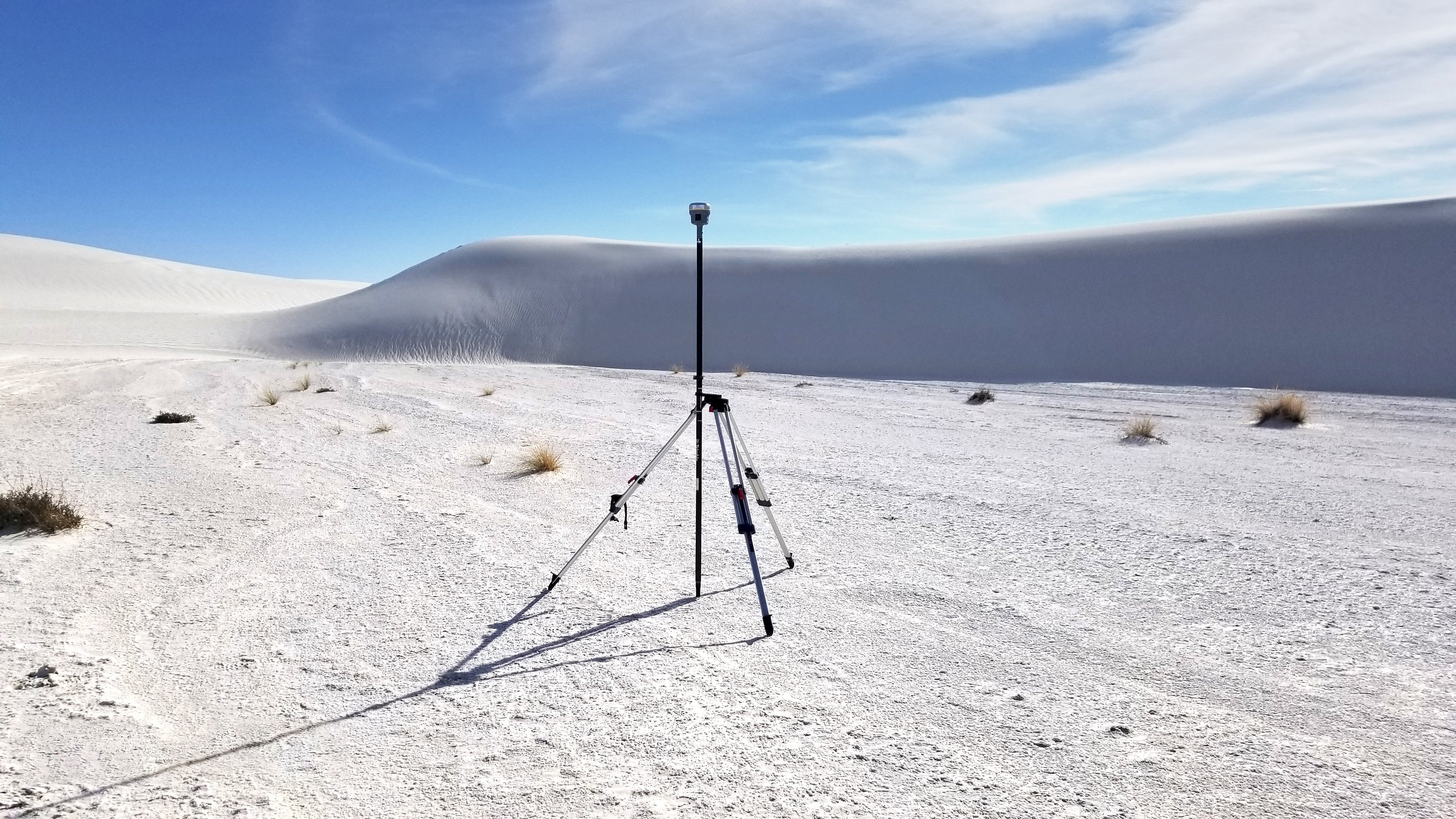
WGI’s Geospatial division leveraged state-of-the-art lidar technology to map and monitor the park's dynamic and ever-changing landscape, allowing federal agencies to:
- Track morphological changes over time and assess resilience to environmental pressures.
- Identify previously undiscovered archeological features, enhancing conservation strategies.
- Plan for and enhance conservation strategies.
Uncover the Secrets Beneath the Sands
We invite you to uncover the intricacies of this remarkable project, gaining insights into how WGI’s innovative mapping techniques are helping to safeguard the rich heritage of White Sands National Park while ensuring its resilience in the midst of environmental change.
Access Our Whitepaper:
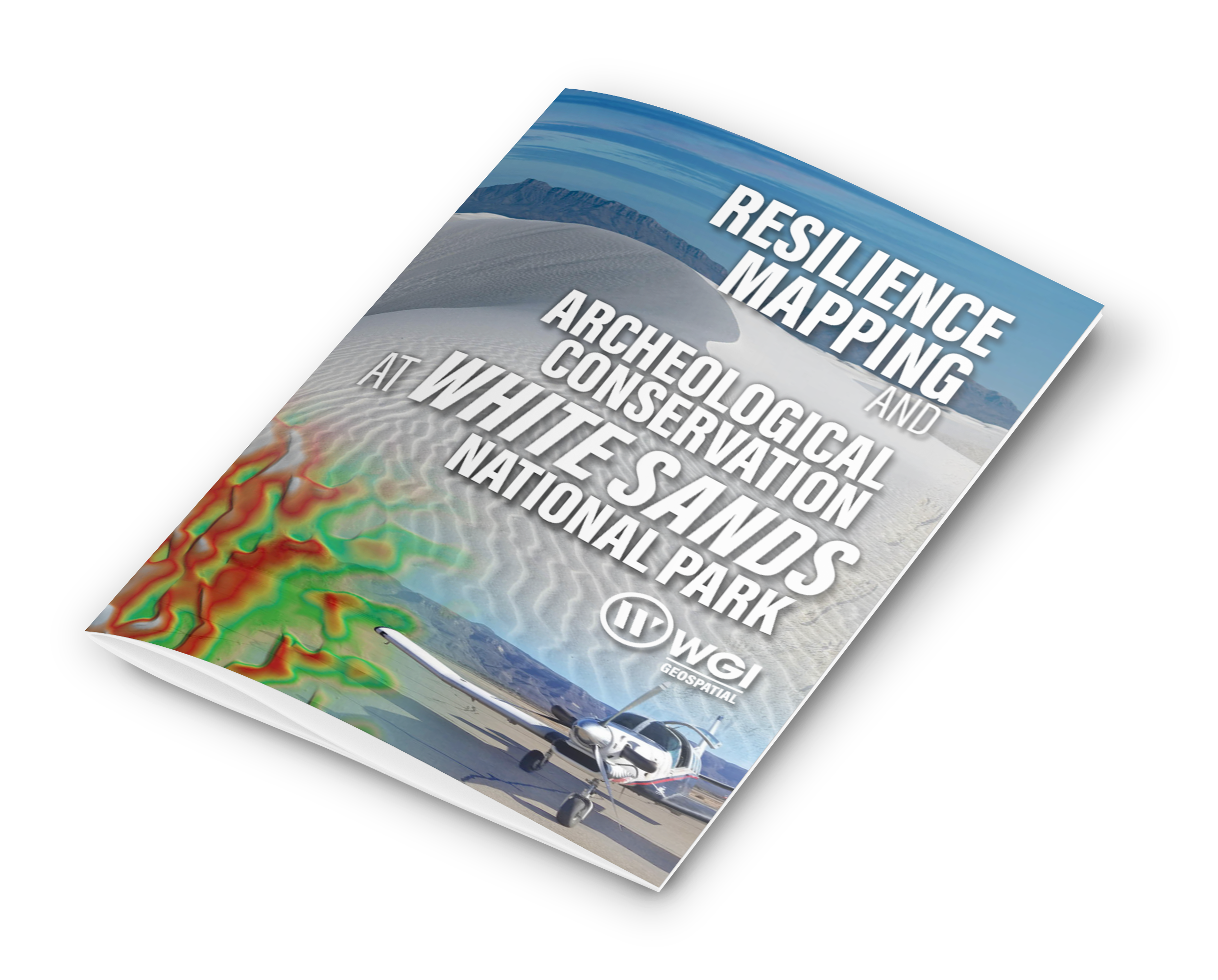
Resilience Mapping and Archeological Conservation at White Sands National Park
And delve into the intersection of resilience mapping and archeological conservation that's playing a critical role in the protection of this national treasure for generations to come!