Fulfilling America's Need for Broadband
WGI's Active Role
It’s time to address the critical challenges faced by broadband providers and OSP firms in meeting the rapid demand of network expansion…. And we’re here to help by empowering your team with unmatched efficiency and accuracy.
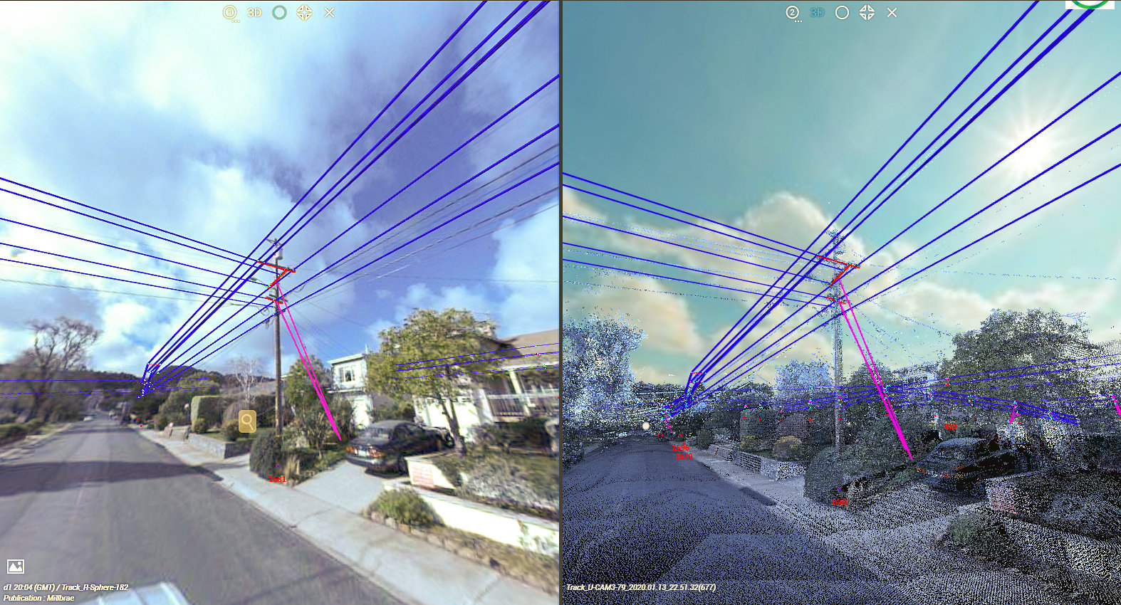
From advanced aerial imaging to ground-breaking radar systems, our latest whitepaper highlights how WGI’s advanced technologies have revolutionized field data collection, offering rapid and precise 2D and 3D mapping, essential for the design and implementation of fiber and small-cell network designs.


Connectivity Redefined
Unmatched Aerial Intelligence:
- Leveraging cutting-edge unmanned platforms equipped with lidar and high-resolution imaging, WGI captures comprehensive telecom infrastructure data across extensive networks, empowering strategic decision-making and meticulous planning.
Pioneering Field Solutions:
- From vehicle-based radar to compliant UASs, WGI delivers engineering-ready geospatial data that accelerates project timelines and optimizes resource allocation, setting a new benchmark for operational excellence.
Driving Connectivity Forward:
- Partner with WGI to navigate federal funding opportunities and expedite broadband deployment in underserved communities, driving impactful change and enhancing connectivity nationwide.
What's Inside
Designed to empower industry leaders with innovative solutions and transformative insights, download our exclusive whitepaper to discover how WGI’s cutting-edge technologies and tailored solutions can accelerate your next broadband deployment project.
Download Our Whitepaper:
Fulfilling America’s Need for Broadband
WGI’s Active Role
Whether you’re planning large-scale fiber routes or city-wide small-cell deployments, WGI offers the expertise and efficiency necessary to not only achieve but exceed your project goals!