INNOVATIONS IN LIDAR MAPPING
FOR TRANSPORTATION INFRASTRUCTURE
Since its inception in the 1960s, light detection and ranging systems, better known as lidar, have been an essential technology utilized by professionals in the geospatial profession. However, as with any innovative technology, lidar has undergone significant advancements over the years.
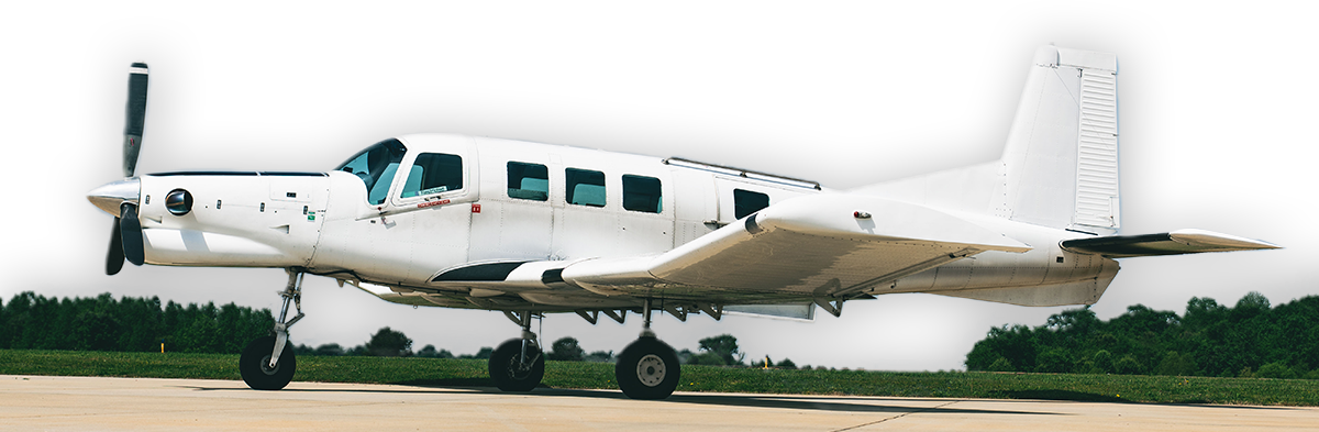
Terrestrial Mobile Lidar and Unmanned Aircraft Systems (UAS) have revolutionized the game, offering unparalleled pulse densities, accuracy, and feature detection capabilities. As a result, the once-standard use of Fixed-Wing Aerial Lidar solutions has become something of a lost art, leaving industry professionals to wonder what's next.
THE INTRODUCTION OF A DISRUPTIVE TECHNOLOGY
Fixed-Wing Aerial Lidar was once the go-to solution for large-scale surveying projects due to its speed and cost-effectiveness. However, this speed and cost efficiency have historically come at the cost of spatial resolution and accuracy. Conversely, Terrestrial Mobile Lidar and Unmanned Aircraft Systems (UAS) have gained favor in more recent years due to their high accuracy and resolution despite facing high operational costs and airspace regulations. But now, there's a solution that combines the best of both worlds!
With the birth of a new dual-sensor Fixed-Wing Aerial Lidar solution, we can now keep data acquisition costs low without sacrificing data quality!
What's Inside
As the world’s first organization to purchase Teledyne Geospatial’s G2 Dual-Sensor System, WGI can now fly higher and faster with a fixed-wing approach while maintaining the accuracies and point cloud densities traditionally associated with UAS, TML, or LAMP solutions.
The experts at WGI know that the proper data acquisition solution can dramatically impact the cost and schedule of your next project - Download our Whitepaper and unlock access to exclusive case studies and explore the cutting-edge lidar technologies that are shaping the future of survey and mapping activities across the nation.